What Your Penngrove Parcel Actually Allows: Reading Sonoma County Zoning
The rules come from the county, not a city
Penngrove has no city hall and no city zoning code. Every building rule, use permit, and parcel question is handled by Permit Sonoma, the county's combined planning and building department. That one fact shapes everything that follows.
Of the 500 single-family parcels in the Penngrove parcel record, 327 sit on an acre or more, with a median lot of about 1.13 acres. Much of what owners want to do—add a second unit, keep animals, put up a barn—turns entirely on what the county's zoning code permits for that parcel's specific designation.
Penngrove's homes, from the record
| Built | Homes |
|---|---|
| before 1940 | 150 |
| 1940-1959 | 76 |
| 1960-1979 | 198 |
| 1980-1999 | 144 |
| 2000 or later | 110 |
| Single-family homes | 500 |
|---|---|
| Median lot | 49,222 sq ft |
| On an acre or more | 327 |
| Median size | 1,920 sq ft |
678 of 756 parcels in this market's record have a known build year.
How the zoning code is built
Sonoma County zoning designations include a base district (AR, RRD, LIA, and so on), density restrictions, and parcel-specific combining districts, all specified in Chapter 26 of the Sonoma County Code. Most Penngrove parcels are inland and carry no "CC" suffix, which would indicate a coastal zone designation—most Sonoma County parcels are not in the Coastal Zone.
In rural areas, density is expressed as the number of acres required per dwelling unit. The number after the base zone letters is that density. For example, "RRD 60" means the density allows one dwelling unit for every 60 acres of land. A second number, when present, is the minimum lot size for subdivision purposes. "AR B6 10/3" means the density is one dwelling unit per 10 acres and the minimum lot size is 3 acres for purposes of subdivisions.
The zones you are most likely to see in Penngrove
The county's agricultural zoning ordinance governs several rural base districts. The relevant zones are the Land Intensive Agriculture (LIA), Land Extensive Agriculture (LEA), Diverse Agriculture (DA), Resources and Rural Development (RRD), and the Agriculture and Residential (AR) district.
For most residential-rural parcels around Penngrove, the two most common base zones are AR and RRD.
AR — Agriculture and Residential. The AR district's purpose is to provide lands for raising crops and farm animals in areas designated primarily for rural residential use. It is a hybrid zone that expects both a home and some agricultural activity to coexist. Agricultural processing is allowed in the AR district with a use permit and conformance with standards limiting the size of such facilities to ensure compatibility with the residential character. Farm retail sales in AR require a use permit as well.
RRD — Resources and Rural Development. This district covers land where resource uses (timber, grazing, open space) are primary and residential density is very low. The density number attached to it tends to be high—RRD 60, for instance, means only one dwelling per 60 acres.
Combining districts add another layer
A parcel's full designation is the base zone plus any combining districts stacked on top of it. Common ones that affect Penngrove-area parcels include floodway (F1), floodplain (F2), riparian corridor (RC), and the former Accessory Dwelling Unit Exclusion zone (Z). Construction is prohibited in the area zoned F1 (Floodway) Combining District, applying to the portion of a parcel the F1 zone overlaps. The riparian corridor combining zone imposes setback requirements from designated streams. A licensed engineer or planner, not a website search, is the right resource for parcels that carry these overlays.
Second units (ADUs) on rural parcels
Accessory Dwelling Units are small dwelling units allowed in conjunction with another primary dwelling unit in most residential, mixed-use, or agricultural zones. The term has effectively replaced "second unit" in county documents.
Amendments to the county zoning code pertaining to ADUs were approved by the Board of Supervisors on December 9, 2025, with Ordinance No. 6544, and took effect January 8, 2026. Those changes now allow up to two ADUs of any type on a single-family lot and align local rules with state streamlining requirements.
On agricultural parcels, there is a catch to note. On lots in LIA, LEA, DA, and RRD zoning districts, the addition of an ADU decreases the number of allowed agricultural dwelling units by one. An owner considering an ADU on a resource or agricultural parcel should ask Permit Sonoma how that trade-off applies to their specific parcel before committing to design work.
Water is the other practical brake on rural ADUs. In areas where public water service is not available, the availability of sufficient well water is a significant factor in determining whether a parcel can accommodate an ADU. Parcels in areas with low groundwater availability must meet additional requirements. Water-scarce areas are identified on the Sonoma County Groundwater Availability Map, and each parcel's groundwater availability area classification can be found in its parcel search report.
Agricultural uses on rural parcels
Keeping animals, running a farm stand, and hosting a farmstay are all possibilities on rural parcels—but the zone and the permit type vary.
In the AR and agricultural zoning districts, there are no animal limits on parcels larger than two acres. Building permits are required for structures such as stables, barns, and covered arenas.
Agricultural farmstays are transient lodging accommodations provided as part of a farming operation. Agricultural farmstays may be conducted, subject to issuance of a zoning permit, in LIA, DA, LEA, and RRD zones. The county's zoning permit page spells out the performance standards required.
Agricultural employee dwelling units are used to house full-time agricultural employees; family members may also reside in the unit; and multiple agricultural employee dwelling units may be allowed on a single property, provided the on-site agricultural operation meets specified thresholds.
How to read your own parcel's zoning
Permit Sonoma's online parcel search tool lets owners find zoning and land use information for any unincorporated Sonoma County parcel. The report includes jurisdiction, zoning and land use codes, groundwater availability, supervisorial district, and whether the parcel is under a Williamson Act land contract.
The Williamson Act note matters. The Williamson Act is a state program whereby the county gives the property owner a property tax reduction for maintaining their property in agriculture as an "agricultural preserve." An application is required to enter into a contract with the county, and the contract period is for ten years, renewing automatically unless the owner requests a phase-out, which takes ten years to complete. Parcels under a Williamson Act contract face additional restrictions on non-agricultural uses.
Once you have your parcel's designation in hand, the county zoning code tables at Permit Sonoma translate the letter codes into plain descriptions of what is permitted, what requires a zoning permit, what requires a use permit, and what is not allowed at all. If the parcel report raises questions—a combining district you do not recognize, a density number that doesn't match lot size—take those questions to Permit Sonoma's planning staff or a licensed land-use professional. The parcel report itself says as much: do not make business decisions based on the data before validating it with Permit Sonoma.
Where to check
- Permit Sonoma — Zoning Search and Zoning Codes: Parcel search tool and explanation of zoning code letter designations.
- Permit Sonoma — County Zoning Codes (Non-Coastal)): Full table of inland base zone designations and links to Chapter 26 ordinance text.
- Permit Sonoma — Agricultural Zoning Ordinance: Text of the LIA, LEA, DA, RRD, and AR district ordinances.
- Permit Sonoma — Accessory Dwelling Units: ADU allowability, standards, and the checklist for permit applications.
- Permit Sonoma — ADU Allowability and Zoning: How base zones and combining districts affect whether an ADU can be built.
- Permit Sonoma — Agriculture/Animals/Trees FAQs: Plain-language answers on animals, farmstays, and farm structures.
- Sonoma County Assessor — Search Parcel Information: Assessor parcel number lookup, value notices, and parcel maps.
Jake Taylor · CA DRE #02070119
[email protected] · (707) 630-1001
- https://permitsonoma.org/zoningcodes
- https://permitsonoma.org/zoningcodes/countyzones(non-cc)
- https://permitsonoma.org/regulationsandlongrangeplans/regulationsandinitiatives/agriculturalzoningordinance
- https://permitsonoma.org/Microsites/Permit%20Sonoma/Documents/Archive/Department%20Information/_Policies%20and%20Procedures/inland_wact_rules_update_exhibit_e.pdf
- https://permitsonoma.org/regulationsandlongrangeplans/regulationsandinitiatives/housingtypes/accessoryunitsandjuniorunits/accessorydwellingunitinformation
- https://permitsonoma.org/regulationsandlongrangeplans/regulationsandinitiatives/housingtypes/accessoryunitsandjuniorunits/allowabilityandzoning
- https://permitsonoma.org/regulationsandlongrangeplans/regulationsandinitiatives/housingtypes/accessoryunitsandjuniorunits
- https://permitsonoma.org/regulationsandlongrangeplans/regulationsandinitiatives/agriculturaluses/faqsagricultureanimalstrees
- https://permitsonoma.org/instructionsandforms/pjr-130agriculturalfarmstay
- https://sonomacounty.ca.gov/administrative-support-and-fiscal-services/clerk-recorder-assessor-registrar-of-voters/assessor/real-property/search-parcel-info
More from Penngrove
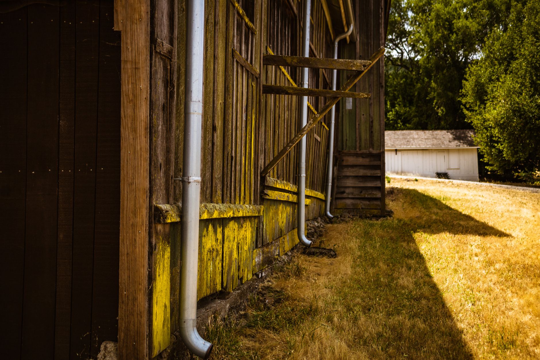
Clean Your Gutters Before October: A Penngrove Pre-Rain Checklist
More than half of Penngrove's homes were built before 1980, and many sit on lots over an acre with mature trees overhead. September is the right month to get the gutters clear before the first storm does it for you.

Penngrove's Fire Zone Map Just Changed. Here's What It Means for Your Parcel.
CAL FIRE released updated fire hazard severity zone maps for unincorporated areas in early 2025, replacing maps that were 15 to 18 years old. For Penngrove—where most lots are an acre or larger and most homes predate 1980—the zone your parcel lands in now carries real building and disclosure consequences.
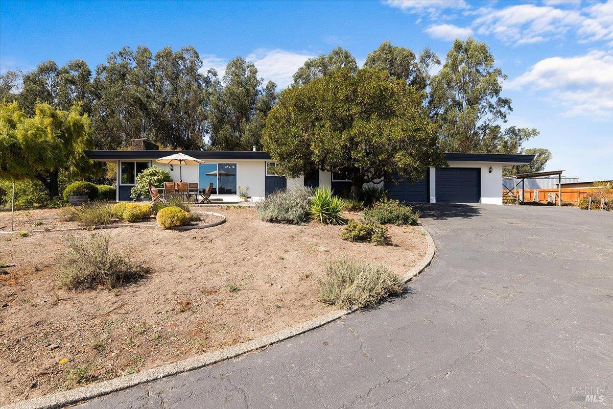
One home hit the Penngrove MLS on September 28
920 Goodwin Avenue came on at $1,200,000, making it the sole activity in Penngrove on September 28. Four single-family sales in the prior 180 days give some context for where it sits.