Penngrove's Fire Zone Map Just Changed. Here's What It Means for Your Parcel.
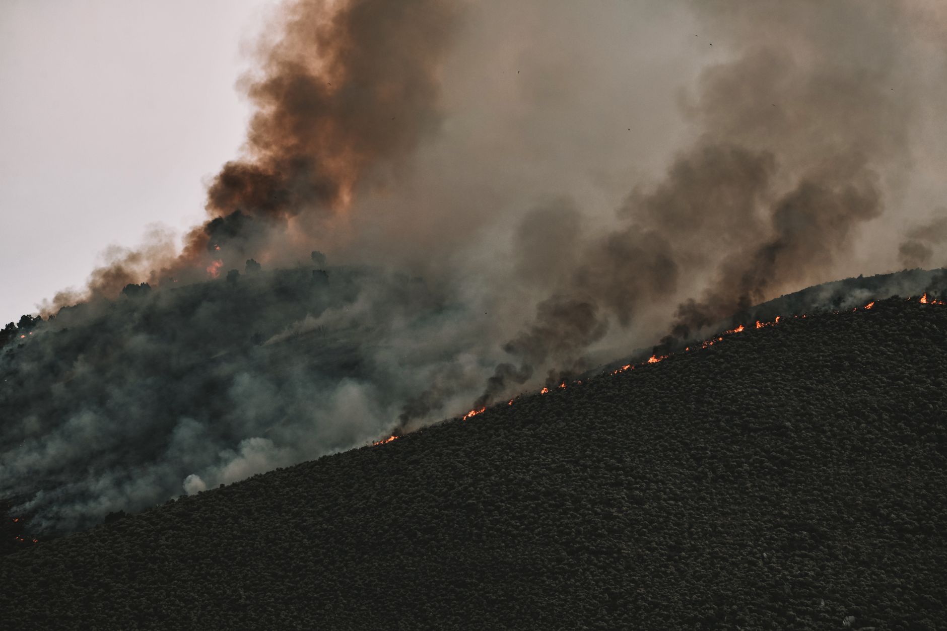
What Changed, and Why It Matters Here
Of the 500 single-family parcels in Penngrove's housing record, 327 sit on an acre or more, and 424 homes were built before 1980—long before current wildland construction standards existed. That combination of older stock and open land makes the new fire hazard maps directly relevant to nearly every owner here.
CAL FIRE released updated Fire Hazard Severity Zone (FHSZ) maps for Local Responsibility Areas in February 2025, replacing maps developed in 2007–2009. Penngrove is unincorporated, so its building rules run through Permit Sonoma (the county), not a city. The maps were released on February 24, 2025. Sonoma County adopted the Sonoma County Fire Safety Ordinance #6396 in 2022, which references development regulations in both the State Responsibility Area (SRA) and LRA Very High Fire Hazard Severity Zones (VHFSZ).
Under an agreement with CAL FIRE, Sonoma County serves as the inspection authority and enforces fire safety requirements outlined in Sections 13-21 of the county code and Title 14 of the Natural Resources Code. The Fire Safety Ordinance acknowledges these minimum fire safety standards for the LRA and the county will assist with public outreach and development standards related to LRA VHFSZ areas.
Penngrove's homes, from the record
| Built | Homes |
|---|---|
| before 1940 | 150 |
| 1940-1959 | 76 |
| 1960-1979 | 198 |
| 1980-1999 | 144 |
| 2000 or later | 110 |
| Single-family homes | 500 |
|---|---|
| Median lot | 49,222 sq ft |
| On an acre or more | 327 |
| Median size | 1,920 sq ft |
678 of 756 parcels in this market's record have a known build year.
What the Maps Measure—and What They Don't
FHSZ maps evaluate "hazard," not "risk." They are like flood zone maps, where lands are described in terms of the probability level of a particular area being inundated—not specifically prescriptive of impacts. "Hazard" is based on the physical conditions that create a likelihood and expected fire behavior over a 30 to 50-year period without considering mitigation measures such as home hardening, recent wildfire, or fuel reduction efforts.
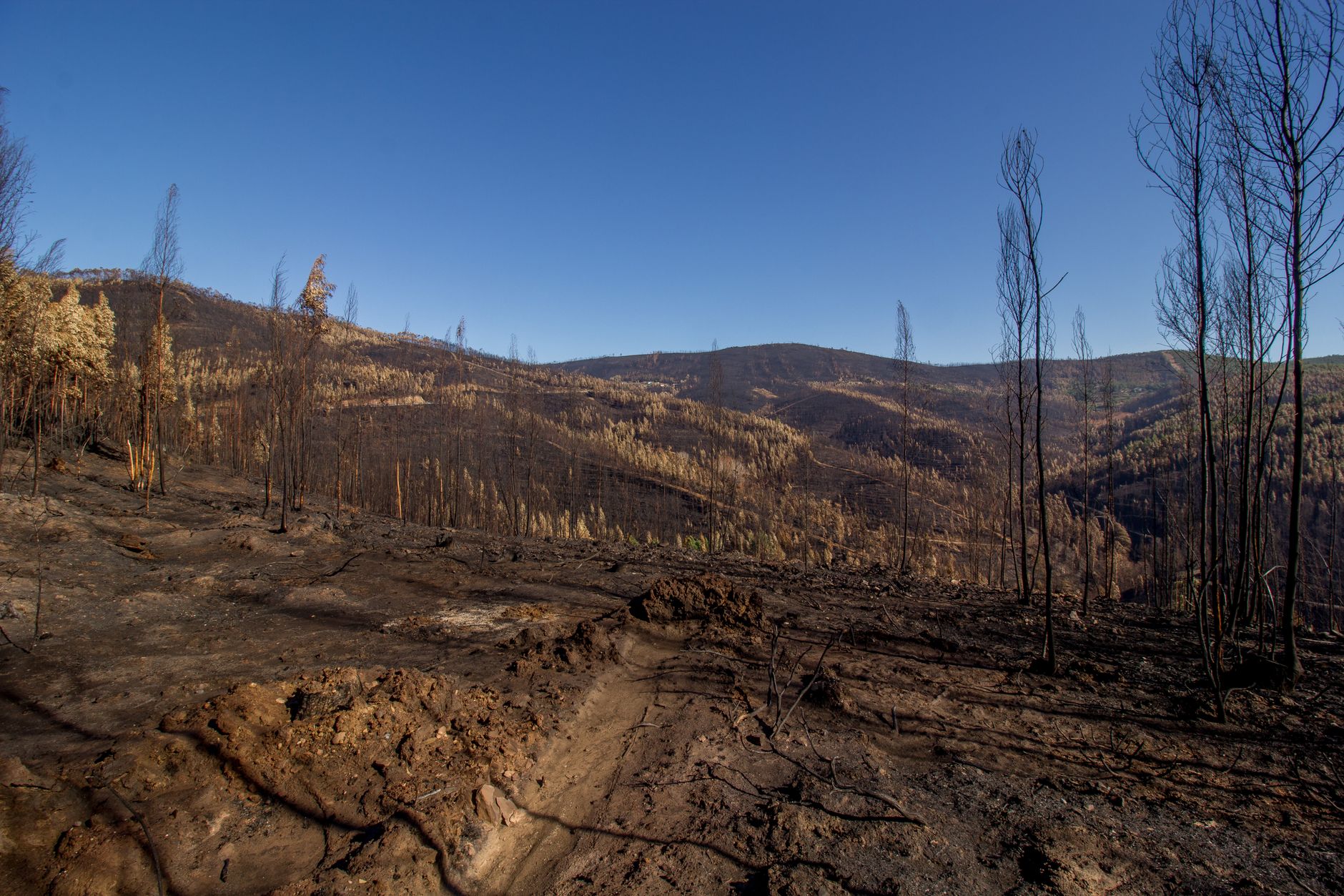
Each zone is based on fuel loading, slope, fire weather, and other relevant factors present, including areas where winds have been identified by the department as a major cause of wildfire spread. Three levels exist—moderate, high, and very high—and where your parcel falls determines what rules apply to you.
One important shift in these 2025 maps: Senate Bill 63 (2021) expanded wildfire-resistant building standards to "high" zones within LRAs and directed state agencies to evaluate their applicability in "moderate" zones within LRAs. Before 2021, WUI construction standards in an LRA like unincorporated Sonoma County applied only in Very High zones. High-zone owners now face the same requirements.
How to Look Up Your Own Parcel
You can enter your address to locate your property on a map showing Fire Hazard Severity Zones at the Office of the State Fire Marshal's viewer at osfm.fire.ca.gov/FHSZ. The viewer contains a feature service that represents FHSZ in SRA as effective April 1, 2024 and FHSZ in LRA as recommended March 24, 2025, in addition to other layers to provide spatial and jurisdictional context.
One caveat worth noting: the state viewer omits LRA areas zoned as Moderate because real estate inspections are only required in High and Very High zones in LRA. To verify your fire hazard severity zone in LRA, contact your local agency. For Penngrove, that means Permit Sonoma. Permit Sonoma also publishes a local response map at the link in the "Where to check" section below.
If any part of your parcel straddles a zone boundary, the higher classification is the one that governs your permits. That is a building department determination, not yours to make.
What the Zone Means If You Build or Remodel
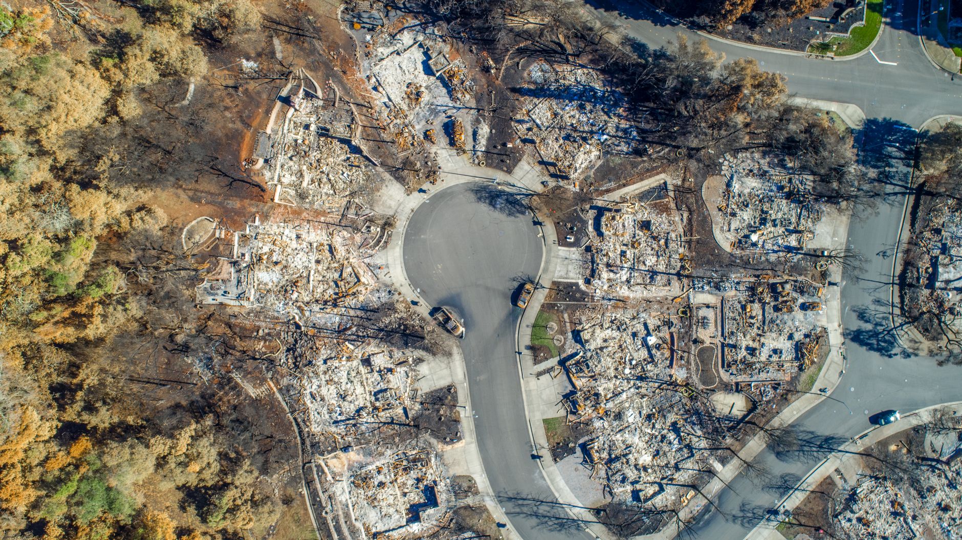
The adopted fire hazard severity maps impact development by dictating the materials and construction methods for exterior wildfire exposure, requiring a natural hazard disclosure during a real estate transaction, mandating a 100-foot defensible space buffer around a property, and triggering development standards regarding road width, water supply, signage, and other features.
For permits specifically, construction projects and new subdivisions located in the State Responsibility Area and in High or Very High Fire Severity Zones are required to have a detailed fire protection plan. That plan must be reviewed by the Fire Prevention Division before a building permit will be issued.
On the building code side, the timeline matters. The 2025 California Wildland-Urban Interface Code (Title 24, Part 7) was published July 1, 2025 and took effect January 1, 2026. The code update streamlined and reorganized standards to become a clearer one-stop shop for all wildfire requirements. The updated building requirements now apply to Very High and High FHSZ in Local Responsibility Areas—previously, they applied only to the Very High zone. Permitted additions, modifications, or retrofits to an existing building do have to comply. Sonoma County confirmed this direction: the updates apply to new construction and certain remodels throughout California, including unincorporated areas of Sonoma County, and include stricter fire-resistance standards for buildings in high-risk zones, such as requiring fire-rated, ember-resistant vents.
Which specific materials and assemblies your project must meet is a determination for a licensed contractor and Permit Sonoma's plan check—not something to sort out from a map alone.
What the Zone Means When You Sell
Zone designation travels with the property at closing. Property sellers must disclose FHSZ designations during real estate transactions. In practice this lands on the Natural Hazard Disclosure (NHD) statement, which every seller of California residential property is required to deliver. Whether your parcel's zone has changed under the 2025 maps, the accurate current designation must appear on that form. A real estate attorney or a licensed NHD service can confirm the precise form requirement for your transaction.
What the Zone Does Not Automatically Affect
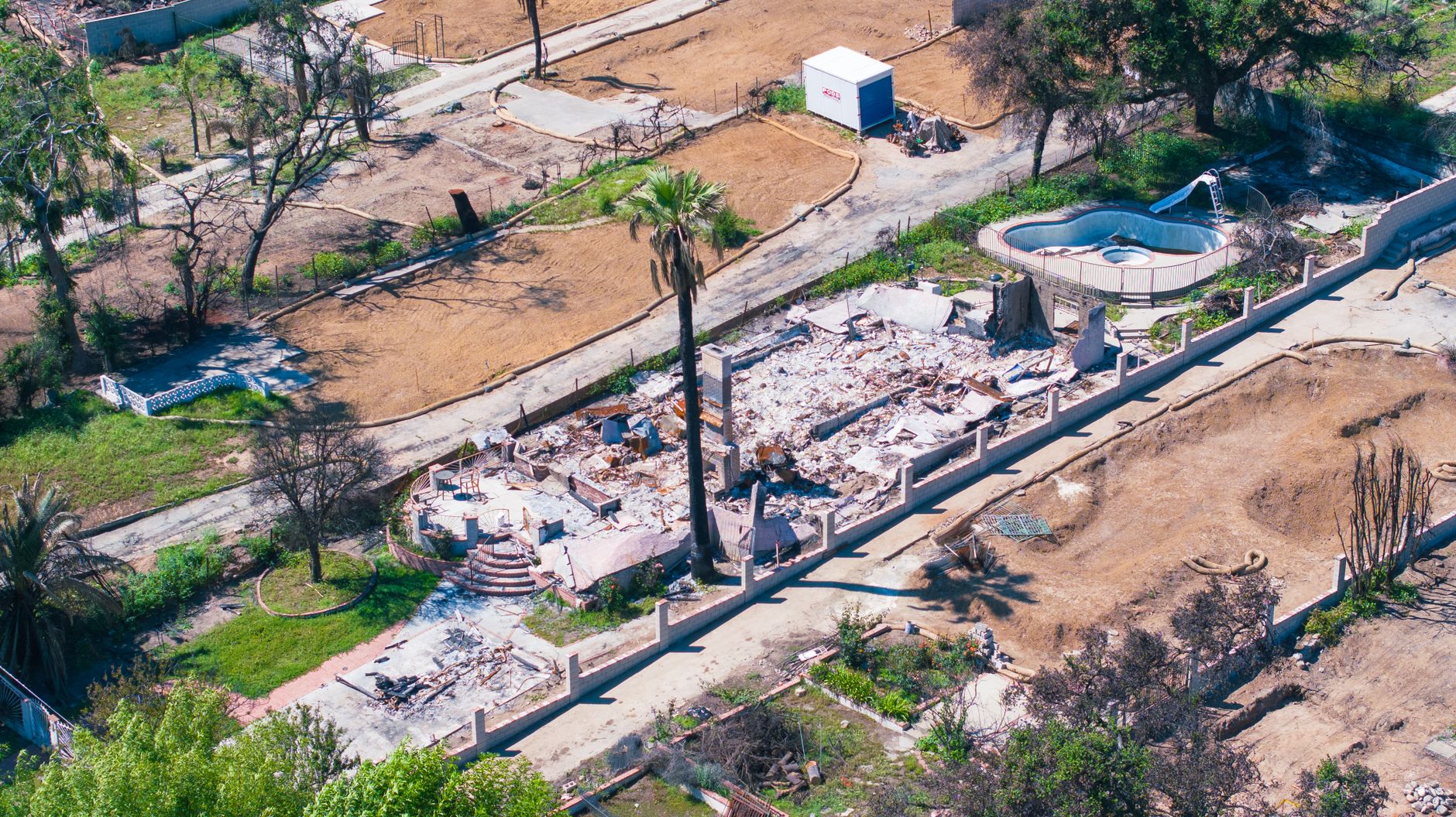
The state has said plainly that the hazard maps are not insurance pricing tools. The California Department of Insurance has issued a consumer alert stating that CAL FIRE hazard maps do not affect insurance rates or availability. Insurance companies use risk models, which differ from hazard models because they consider the susceptibility of a structure to damage from fire and other short-term factors. Insurance risk models incorporate additional factors that change more frequently than those CAL FIRE includes in its hazard mapping. What the zone does affect is what your insurer may ask about—home hardening steps, defensible space compliance, and ember-resistant construction are the items where mitigation and insurance increasingly overlap.
Where to check
- Permit Sonoma – Fire Hazard Severity Zones) — County's own FHSZ page for unincorporated Sonoma, including the 2025 LRA map update and the county Fire Safety Ordinance #6396.
- Permit Sonoma – 2025 CAL FIRE Map Release Notice — The county's official notice on the February 2025 LRA map release.
- OSFM Fire Hazard Severity Zone Viewer — Enter any address to find its current zone designation; includes the state's LRA FHSZ viewer and links to public comment and the Q&A from the Department of Insurance.
- California Open Data – FHSZ Viewer — GIS dataset and viewer with both SRA (effective April 1, 2024) and LRA (recommended March 24, 2025) layers.
- Permit Sonoma – Fire Protection Plans/fireprotectionplans) — What a fire protection plan requires before a building permit issues in High or Very High zones.
- Permit Sonoma – 2025–26 California Building Code Updates — County overview of the new WUI code taking effect January 1, 2026, including ember-resistant vent requirements for unincorporated Sonoma County.
Jake Taylor · CA DRE #02070119
[email protected] · (707) 630-1001
- https://permitsonoma.org/divisions/firepreventionandhazmat/firehazardseverityzones(fhsz)
- https://permitsonoma.org/calfirefirehazardseveritymap
- https://permitsonoma.org/divisions/firepreventionandhazmat/firehazardseverityzones(fhsz)/fireprotectionplans
- https://permitsonoma.org/sonomacountypreparesforcaliforniabuildingcodeupdates
- https://permitsonoma.org/publicinvitedtoreviewandcommentoncalfirewildfirehazardseveritymaps
- https://osfm.fire.ca.gov/what-we-do/community-wildfire-preparedness-and-mitigation/fire-hazard-severity-zones
- https://data.ca.gov/dataset/fire-hazard-severity-zone-viewer1
- https://gis.data.ca.gov/content/03beab8511814e79a0e4eabf0d3e7247
- https://abag.ca.gov/sites/default/files/documents/2025-11/WildfireAndHousingResourceGuide8_2025.pdf
More from Penngrove
Clean Your Gutters Before October: A Penngrove Pre-Rain Checklist
More than half of Penngrove's homes were built before 1980, and many sit on lots over an acre with mature trees overhead. September is the right month to get the gutters clear before the first storm does it for you.
What Your Penngrove Parcel Actually Allows: Reading Sonoma County Zoning
Penngrove is unincorporated, so every land-use question goes to Permit Sonoma, not a city hall. Here is how the county's zoning system works and what it means for the 327 single-family parcels here that sit on an acre or more.
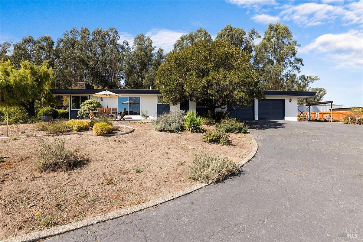
One home hit the Penngrove MLS on September 28
920 Goodwin Avenue came on at $1,200,000, making it the sole activity in Penngrove on September 28. Four single-family sales in the prior 180 days give some context for where it sits.